Marine Survey Solution/Sub-bottom Profilers
GeoScope 100 Parametric SBP
100 kHz parametric SBP · split unit
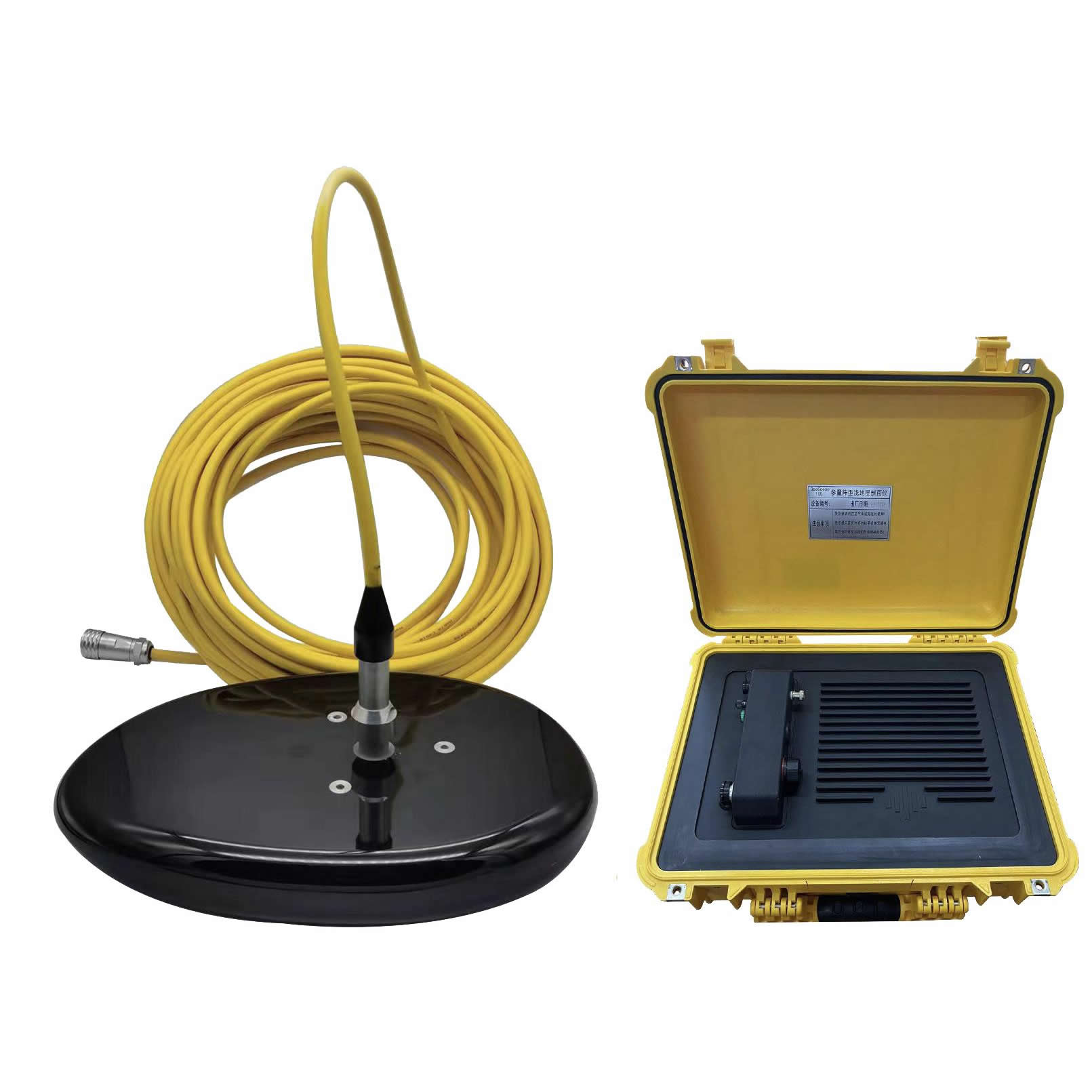
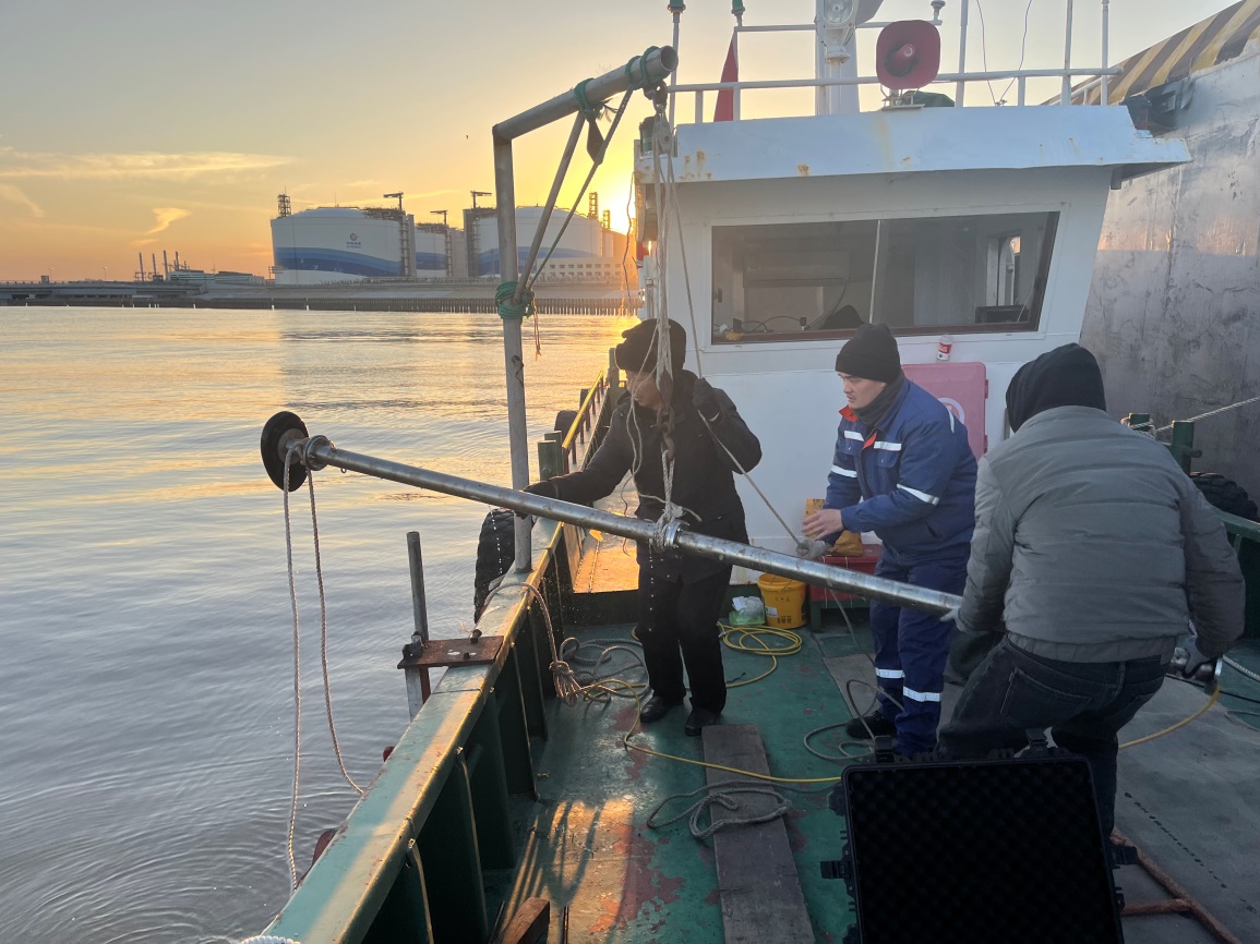
- Two-case mobilisation — An 8 kg transducer and an 11.2 kg IP67 topside unit — the system deploys from a small boat or a vessel of opportunity, with no dedicated survey vessel required.
- Deep penetration, long range — Up to 40 m sediment penetration, 200 m operating range and 15 pings per second — an unusual margin for equipment in this portable class.
- Profile and bathymetry in one pass — Optional harmonic high-frequency bathymetry at 2.5 cm resolution — sub-bottom profile and water depth are delivered from a single pole deployment.
- Thin layers in real sea states — Range resolution of 5 cm combined with heave compensation — thin shallow-water layers and small targets are not lost to vessel motion.
Sub-bottom Profilers
Overview
As the split-unit member of the GeoScope series manufactured by Ocean Physics, GeoScope 100 transmits at 85–115 kHz and generates wideband secondary frequencies of 5–25 kHz through non-linear interaction. The low secondary frequency penetrates the sediment while the beam stays within 5–6 degrees, which delivers high resolution and clean layer interfaces without relying on a large-aperture array.
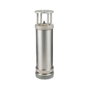
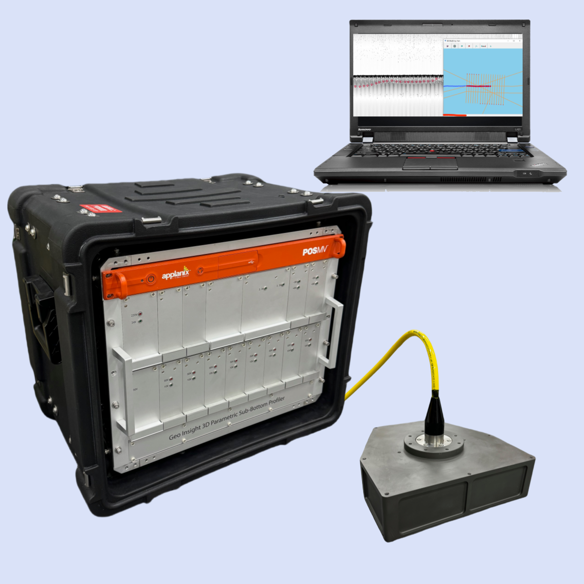
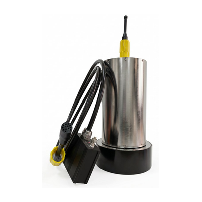
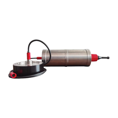
The split-unit configuration houses the processing electronics in a deck case: an 8 kg transducer and an 11.2 kg topside unit rated IP67. The complete system travels in two cases and mobilises quickly, making it an ideal choice for small vessels or vessels of opportunity on challenging projects.
The system runs on 24 VDC with total power consumption below 150 W, connects to the acquisition PC over Ethernet, and provides interfaces for GPS and motion sensors. SPAS acquisition software is supplied as standard, with LayerData Pro post-processing available as an option, and compatibility for third-party platforms such as SonarWiz.
Applications
Specifications
Technical data
| Technical Specifications | |
|---|---|
| Primary Frequency | 85 - 115 kHz |
| Secondary Frequency | 5 - 25 kHz |
| Pulse Length | 0.05 - 1 ms |
| Pulse Type | CW, Chirp optional |
| Ping Rate | up to 15 pings/s |
| Beamwidth @ Primary Frequency | 4.5 ± 0.5 deg |
| Beamwidth @ Secondary Frequency | 5 - 6 deg |
| Source Level @ Primary Frequency | ≥238 dB/μPa@1m 100 kHz |
| Source Level @ Secondary Frequency | ≥194 dB/μPa@1m 20 kHz |
| Dynamic Range | ≥110 dB |
| Range Resolution | ≤5 cm |
| Sediment Penetration | ≤40 m, depending on sediment type and ambient noise |
| Operating Range | ≤200 m |
| Heave/Roll/Pitch Compensation | heave, subject to external sensor data |
| Bathymetry Resolution (optional) | 2.5 cm |
| Physical Specifications | |
| Power Consumption | less than 150 W |
| Power Supply | 24 VDC or 220 VAC to 24 VDC |
| Communication | Ethernet |
| External Sensors | GPS, IMU |
| Dimension and Weight of Transducer | 362 × 240 × 50 mm, 8 kg |
| Dimension and Weight of Topside Unit | 500 × 400 × 190 mm, 11.2 kg |
| Protection Level of Topside Unit | IP67 |
| Data Acquisition and Post-processing Software | SPAS acquisition supplied as standard; LayerData Pro post-processing available as an option. Compatible with third-party software such as SonarWiz |
Proven in the field
Case studies
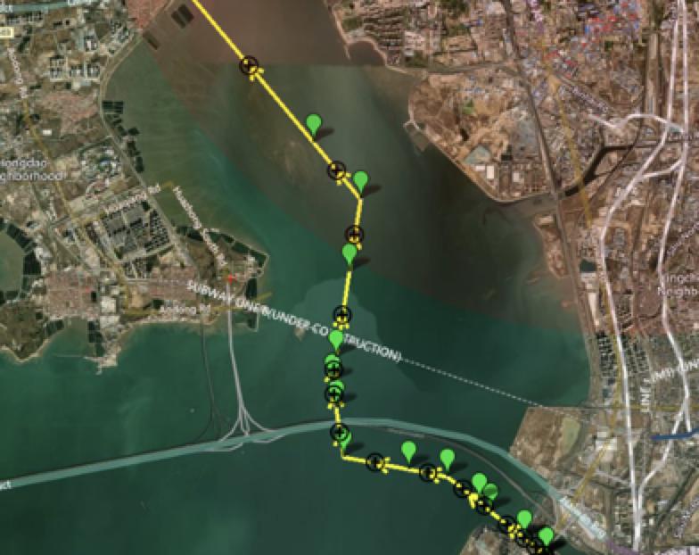
Subsea Pipeline Survey using USV with Integrated Parametric SBP and MBES
Silt Measurement Data Examples in Yancheng by GeoScope 100
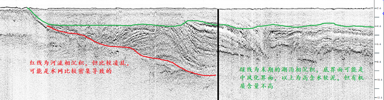
Siltation Measurement in Lake Taihu by GeoScope
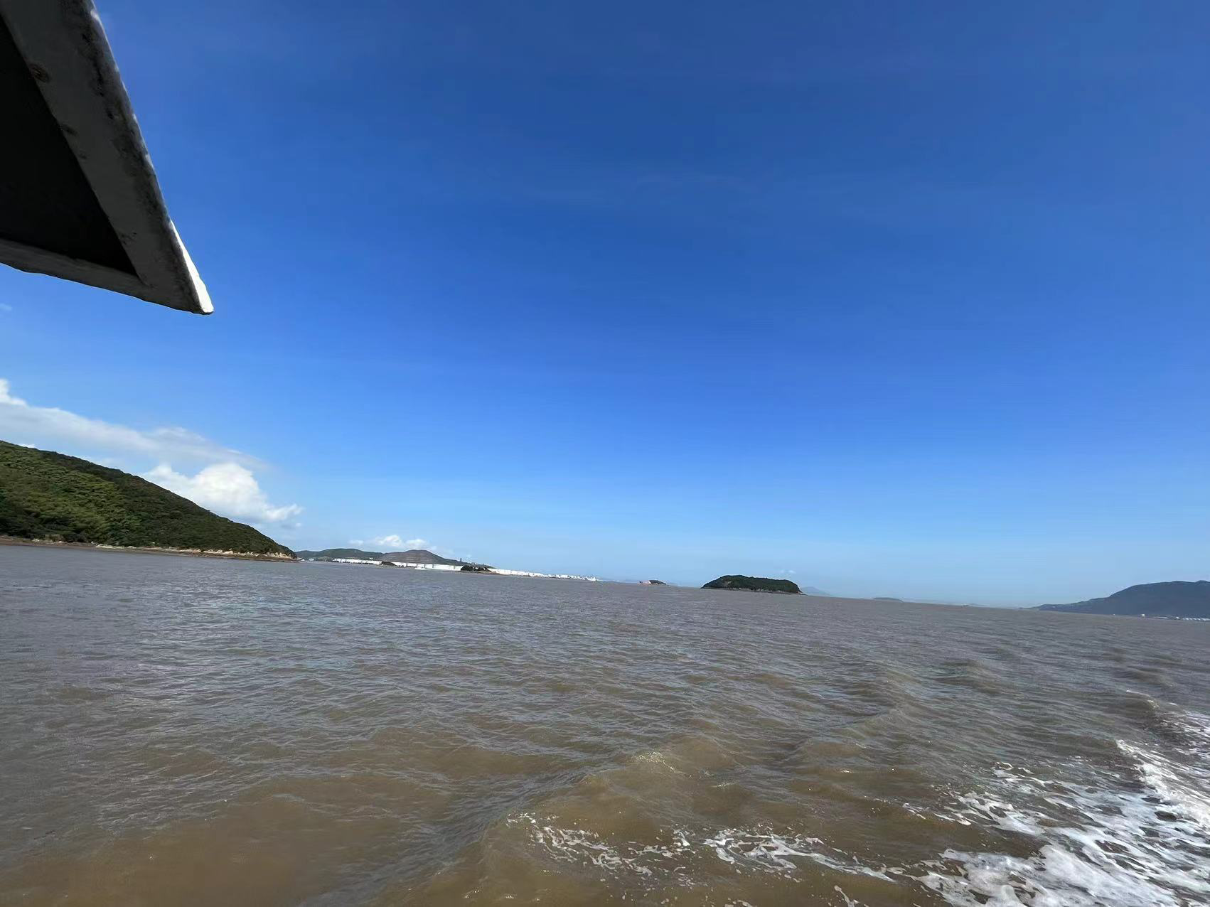
Sub-bottom Profiling Data Examples by GeoScope 100
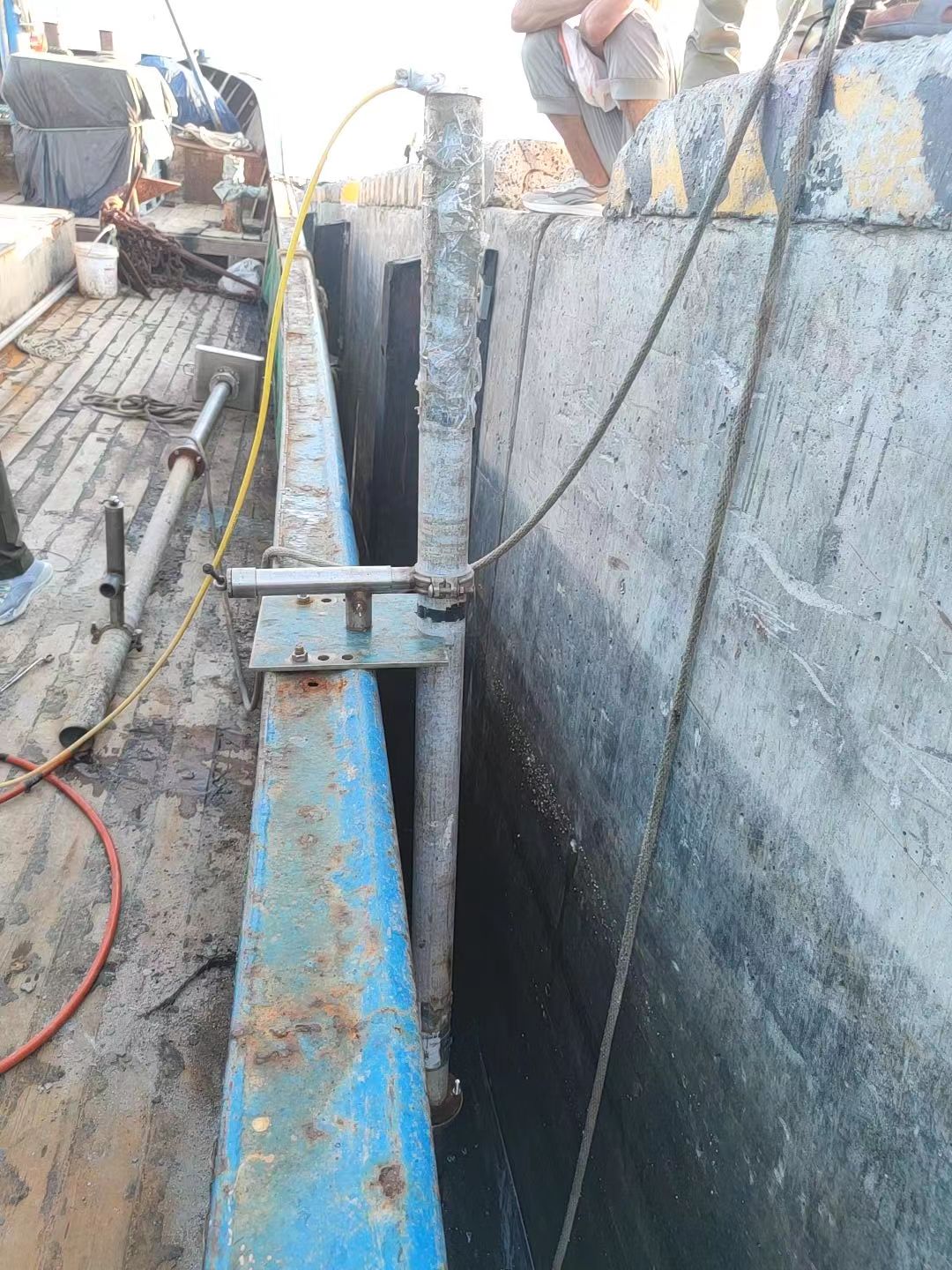
Subsea Pipeline Survey off Liaoning with GeoScope 100
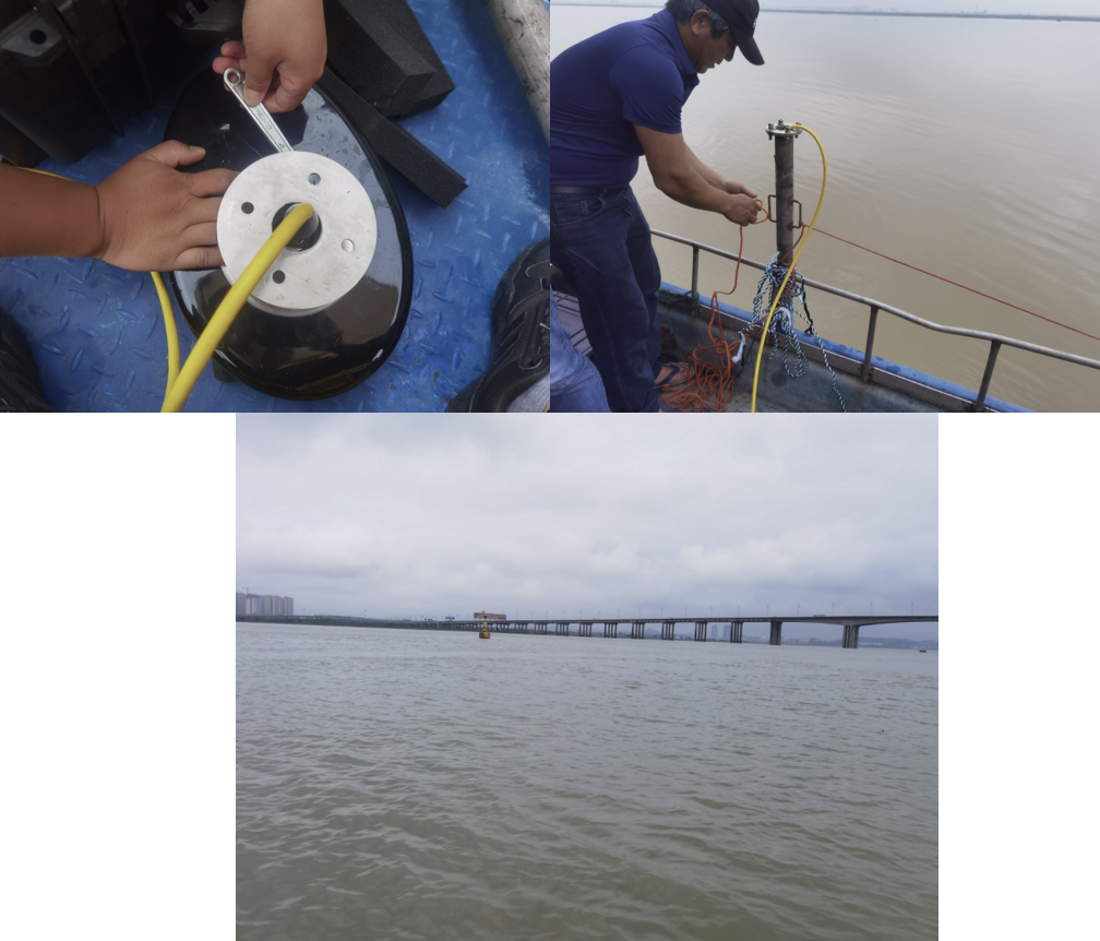
Data Examples of Sewerage Line Detection by GeoScope 100
Marine Survey Solution
More Sub-bottom Profilers
Discuss GeoScope 100 Parametric SBP for your project
Tell us about your vessel, water depth and deliverables, and our engineers will recommend a configuration.