Ocean Physics Technology
About
Marine Survey Solution
Handling & Lifting Solution
ROV Service
Case Study
Contact
Overview
Certifications
Workspace
Partners
Sub-bottom Profilers
GeoScope 100 Parametric SBP
100 kHz parametric SBP · split unit
GeoScope 200/300 Parametric SBP
200 / 300 kHz · subsea electronics
GeoInsight 100 3D Parametric SBP
3D parametric SBP · 93-beam swath
GeoScope 2100 Compact Parametric SBP
110 kHz parametric SBP · one housing
GeoScope 6100 Deep‑water Parametric SBP
100 kHz parametric SBP · rated 6,000 m
Subsea Sonars
GeoChart X240 Subsea Multibeam Echosounder
200–400 kHz multibeam · rated 6,000 m
GeoTexture X155 Subsea Bathymetric Side‑scan Sonar
150 / 550 kHz · 6,000 / 11,000 m
AquaVision X400 Subsea Forward‑looking Sonar
400 kHz · 40 Hz · 6,000 / 11,000 m
Underwater Lasers
LaserScope 3D Subsea Laser Scanning System
USVs
HydroFrog 25 Multi-purpose USV
2.5 m multi-purpose catamaran USV
FT120 Profile Winch
Profile winch for unmanned platforms
Winch
Geological Winch
Winch for deep-sea geological sampling
CTD and Oceanographic Winch
Winch for CTD and water sampler casts
ROV Winch System
Umbilical winch for ROV operations
Towing Winch
Winch for towed sonar and towfish
4/8/16 points positioning winch
Pneumatic winch
Subsea Winch (Underwater Winch)
Subsea winches for TMS, buoys and arrays
A-Frame
Handling support
A-frames and L-frames for overboarding
Crane
Cranes
Offshore cranes from 5 t to 600 t
LARS
CTD LARS
Portable CTD LARS with traction device
Over head CTD LARS
Integrated SAS LARS
Integrated LARS for towed SAS
Integrated Heavy-duty ROV LARS
Integrated LARS for heavy-duty ROV
ADS LARS
Split Heavy-duty ROV LARS
Split LARS for heavy-duty ROV, 16 t
AUV/UUV LARS
Four AUV/UUV launch and recovery types
Overview
Supported ROV and Tooling
Case Study
Team
Get in touch
Drop us a line
Send an enquiry — we reply within one working day
Contact details
Address, phone and email
About
Overview
Certifications
Workspace
Partners
Marine Survey Solution
Sub-bottom Profilers
Subsea Sonars
Underwater Lasers
USVs
Handling & Lifting Solution
Winch
A-Frame
Crane
LARS
ROV Service
Overview
Supported ROV and Tooling
Case Study
Team
Case Study
Contact
Home
/
Case Study
Marine Survey Case Studies
Case Study
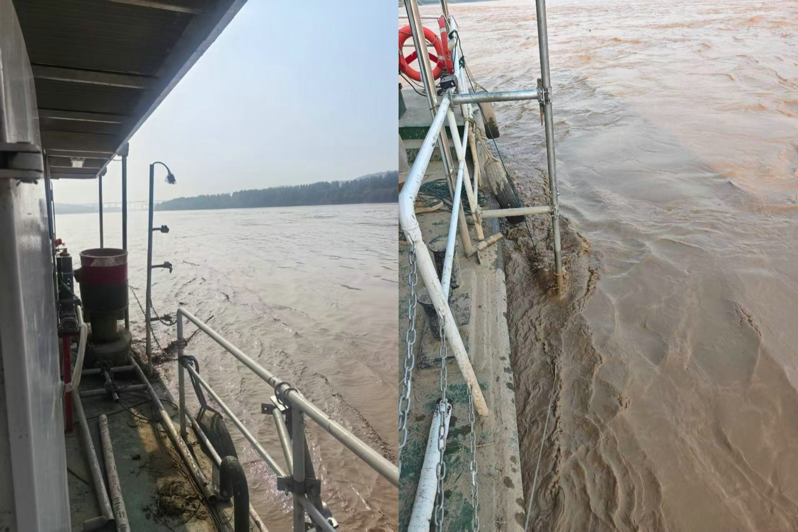
Parametric Sub-Bottom Profiler Field Trial: Channel Cross-Section Surveys in the Yellow River
Fully Automated Hydrographic Survey: How HydroFrog 25 USV Works with NORBIT and CARIS Onboard
Breakwater Survey using HydroFrog 25 USV with GeoScope 200 and Ping3DSS sonar
River Survey using HydroFrog 25 USV with EdgeTech 6205s2 sonar
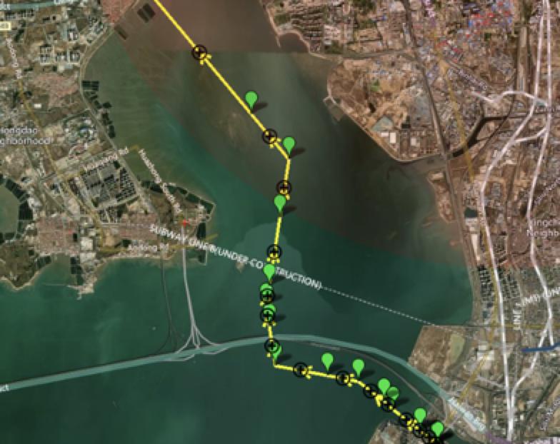
Subsea Pipeline Survey using USV with Integrated Parametric SBP and MBES
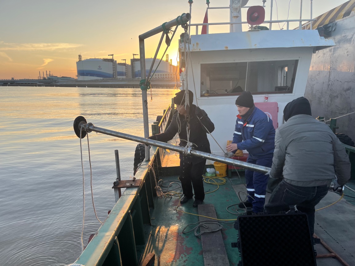
Silt Measurement Data Examples in Yancheng by GeoScope 100
Wind Farm Survey by GeoInsight
Consolidated Sand Profiling by GeoInsight 3D SBP
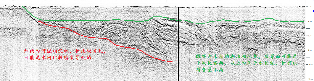
Siltation Measurement in Lake Taihu by GeoScope
GeoInsight 3D Parametric SBP: Sea Trial off Daishan Island
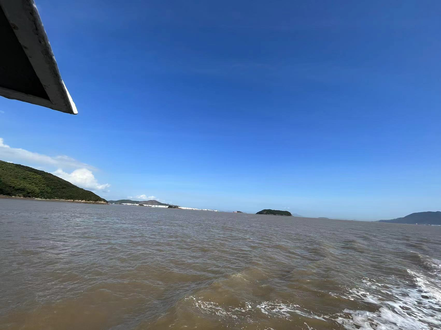
Sub-bottom Profiling Data Examples by GeoScope 100
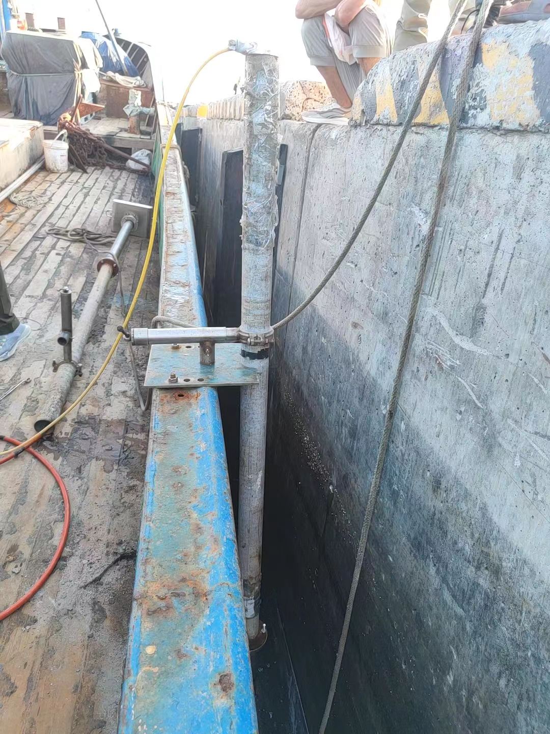
Subsea Pipeline Survey off Liaoning with GeoScope 100
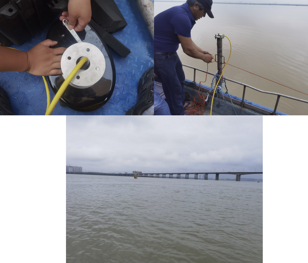
Data Examples of Sewerage Line Detection by GeoScope 100
Silt Measurement Data Examples by GeoScope 200
10cm Windfarm Cable Survey by GeoScope 100
Data Examples of 60cm-80cm dia. pipeline detection by GeoScope 100
About
Overview
Certifications
Workspace
Partners
Marine Survey Solution
Sub-bottom Profilers
Subsea Sonars
Underwater Lasers
USVs
Handling & Lifting Solution
Winch
A-Frame
Crane
LARS
ROV Service
Overview
Supported ROV and Tooling
Case Study
Team
Case Study
Send an enquiry
Follow us
Copyright © 2026 Ocean Physics Technology All rights reserved.