Sub-bottom Profiling Data Examples by GeoScope 100
2022-09-26
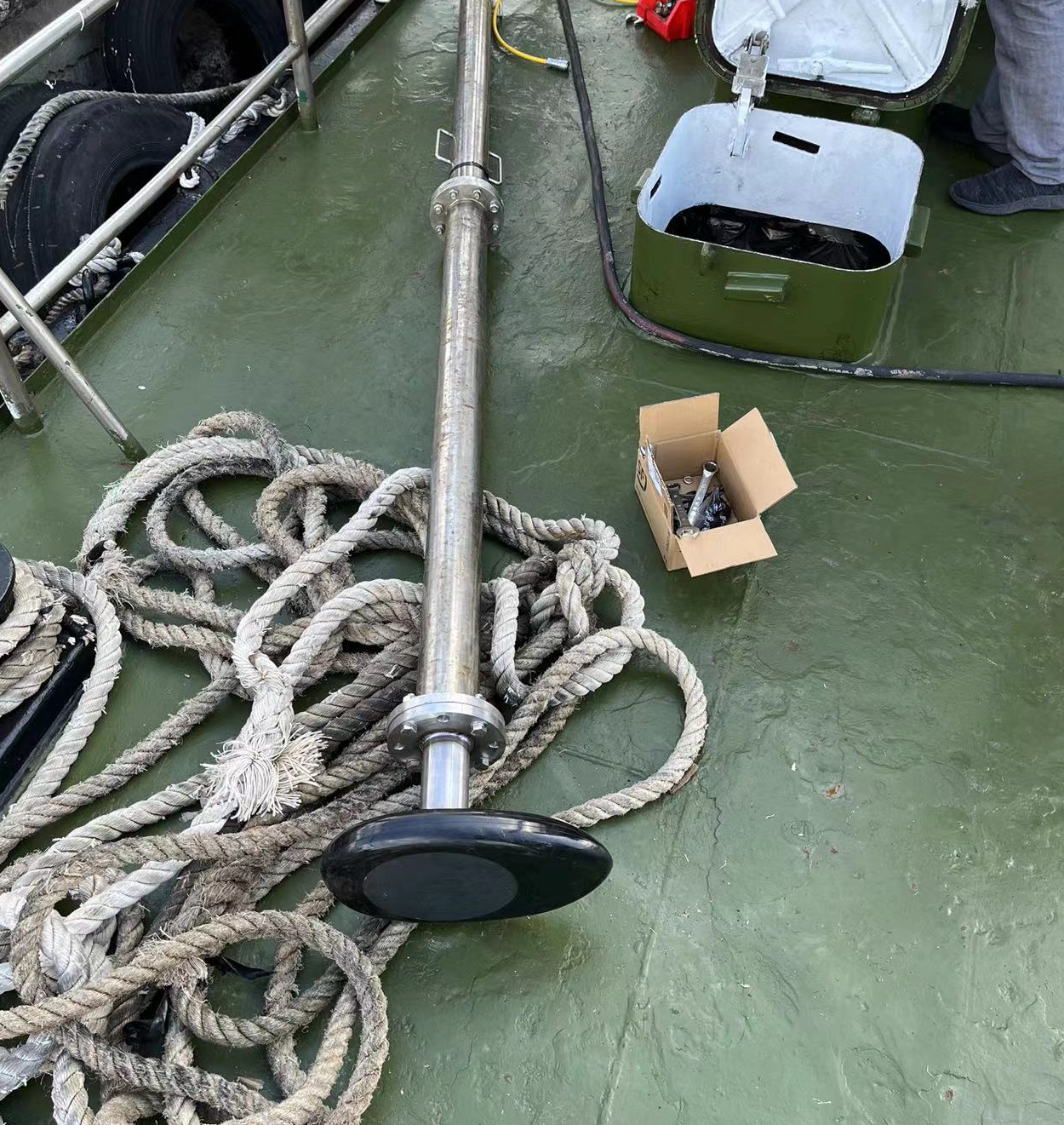
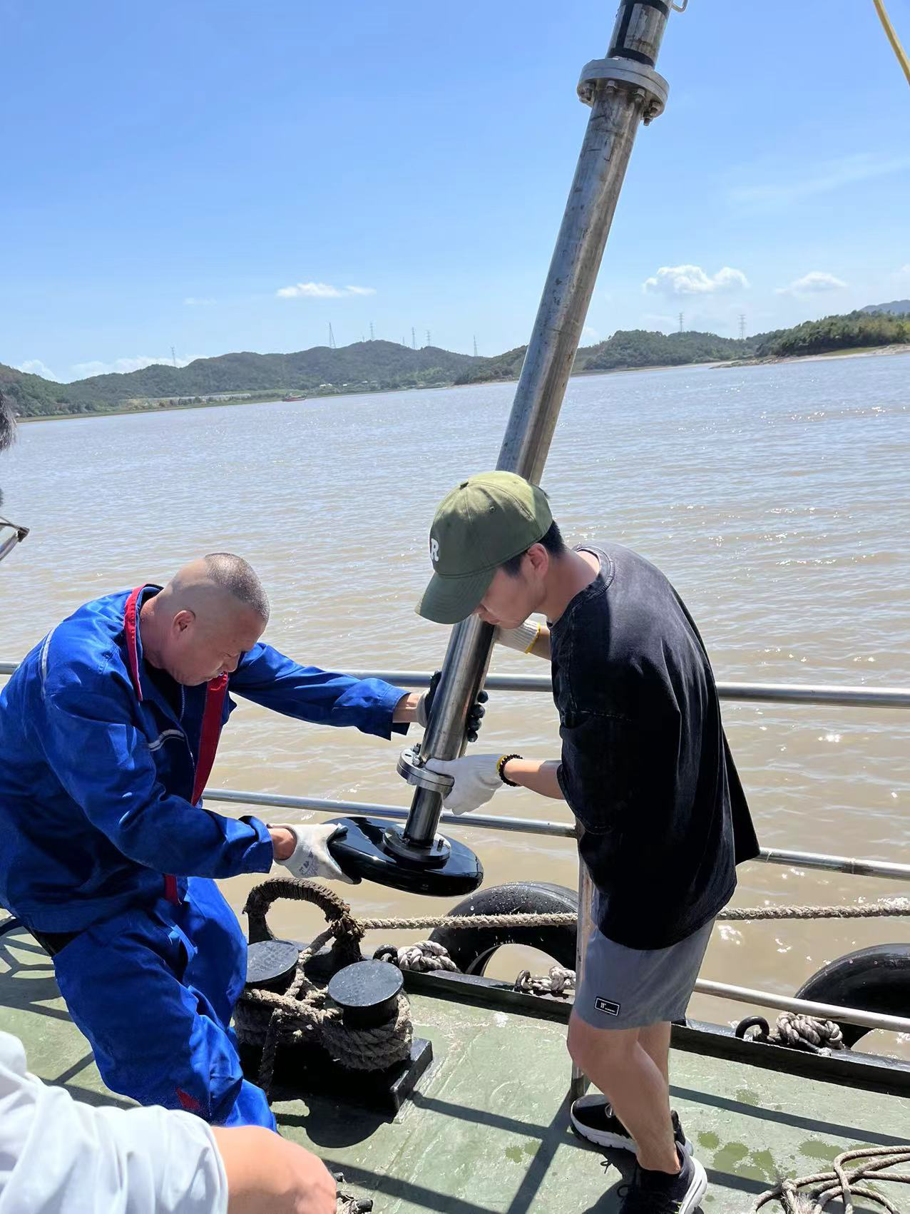
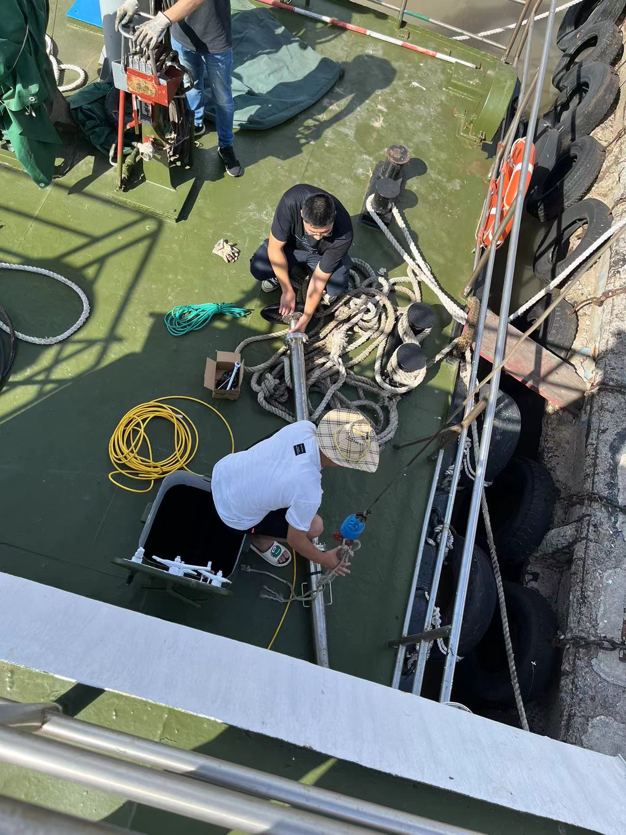
Products:GeoScope 100 Surface
Date:Mid August, 2022
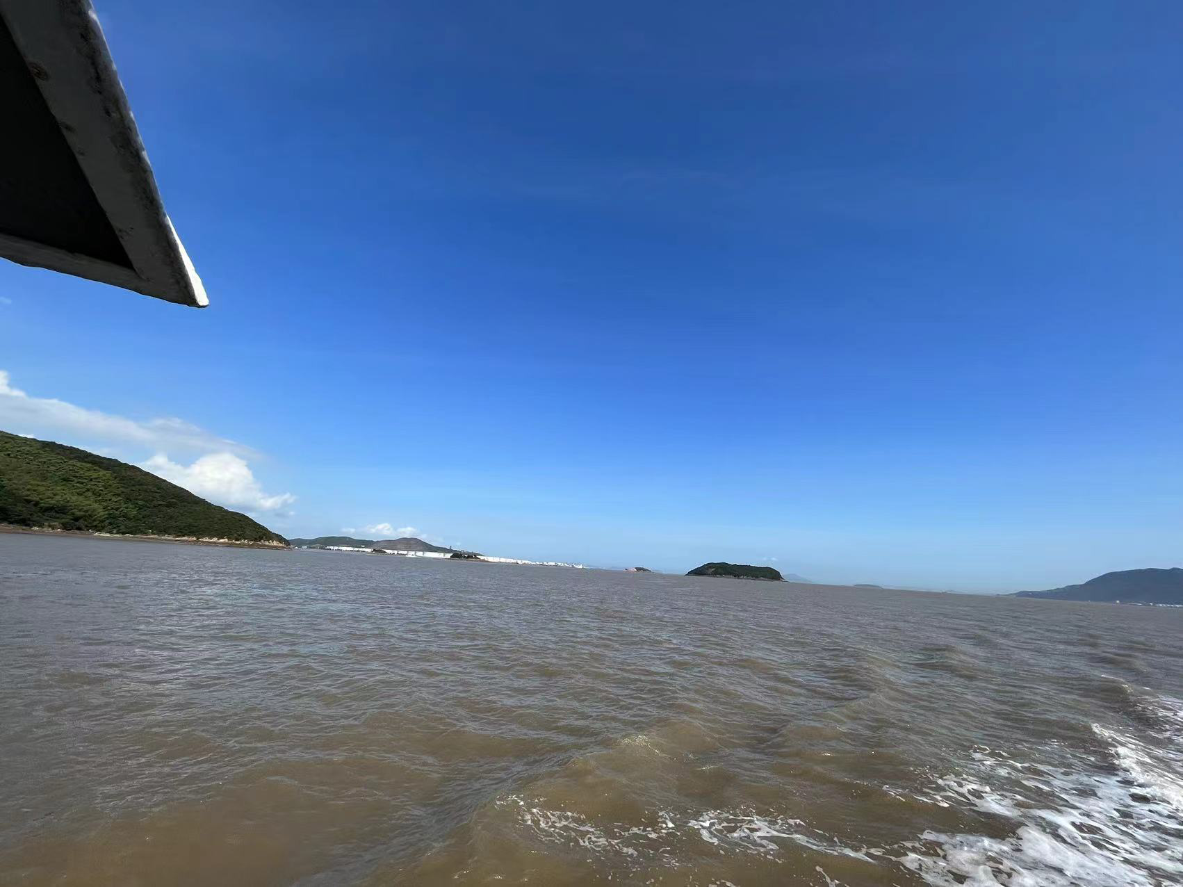
Location:A channel to the sea in Zhoushan
Water depth:5-16m
Detection target: shallow stratum, minimum diameter of about 250 mm pipe
Data Examples:
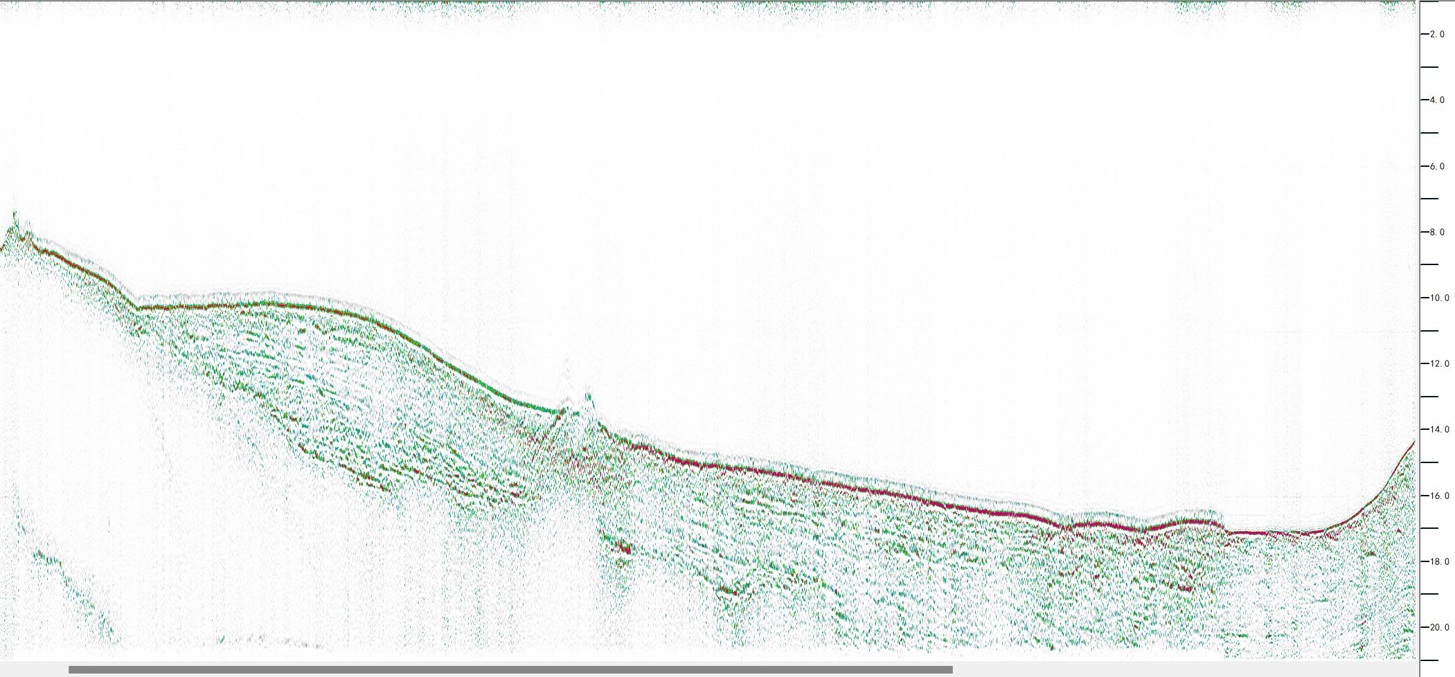
Pipelines exposed on the seabed
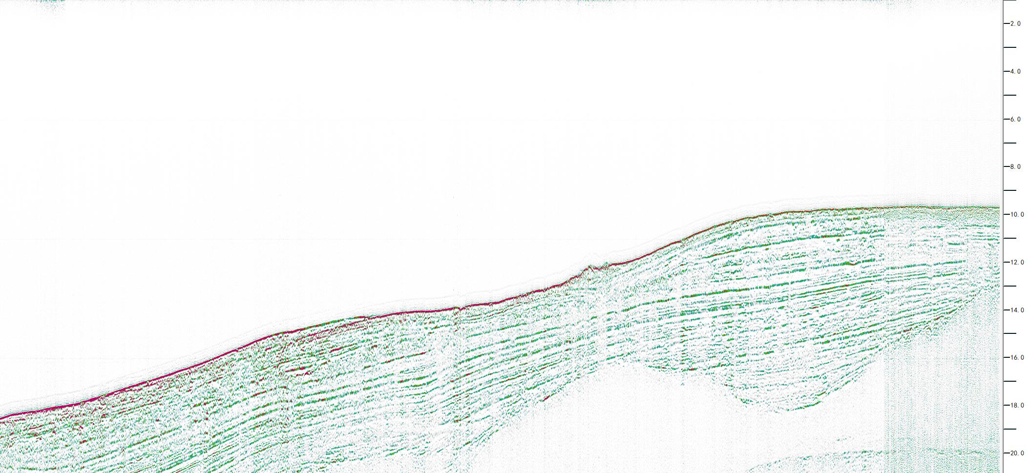
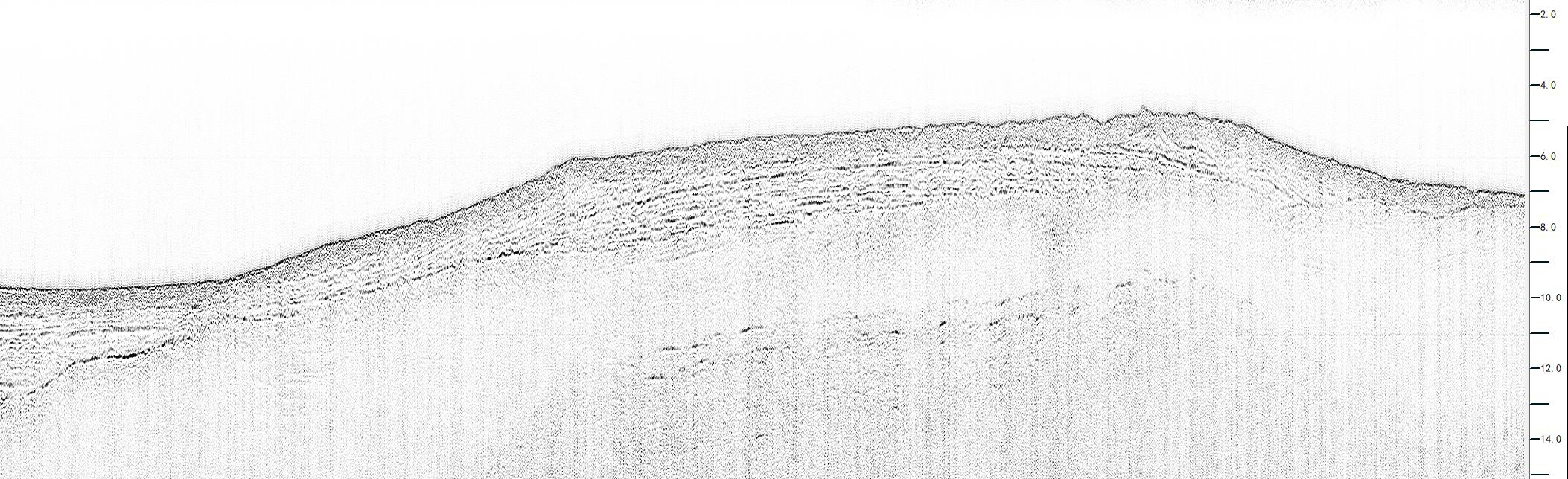
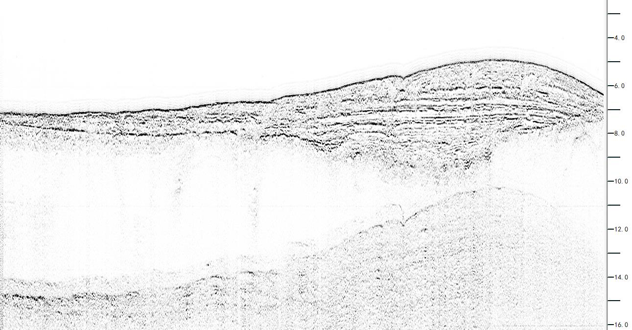
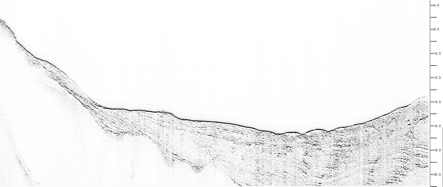
Continuous and clear stratigraphy
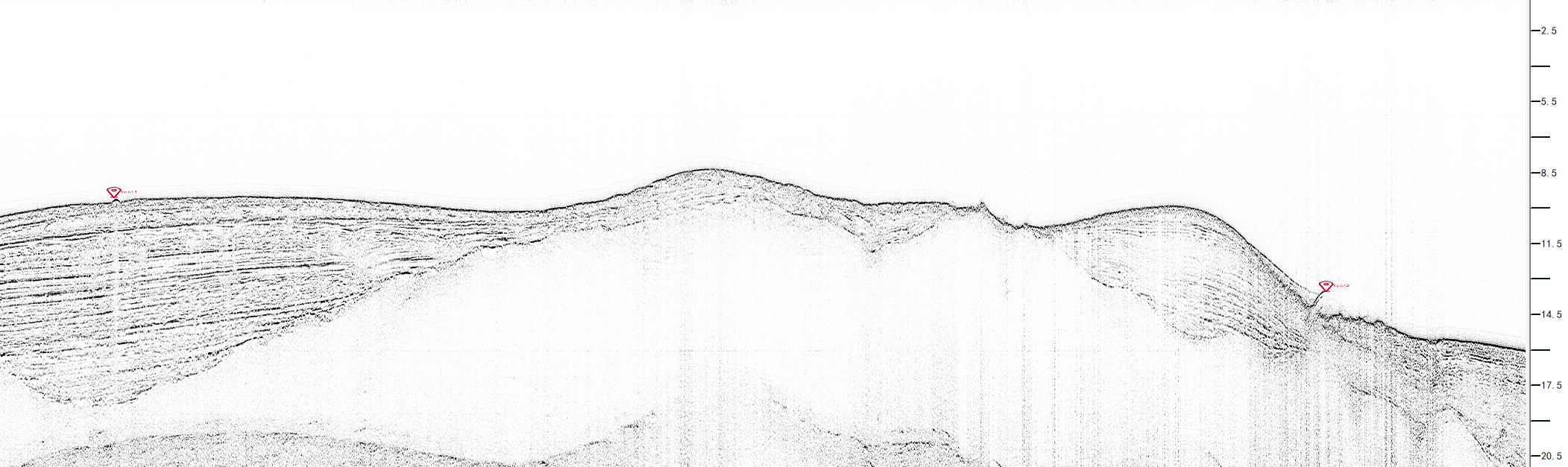
Pipelines exposed on the seabed
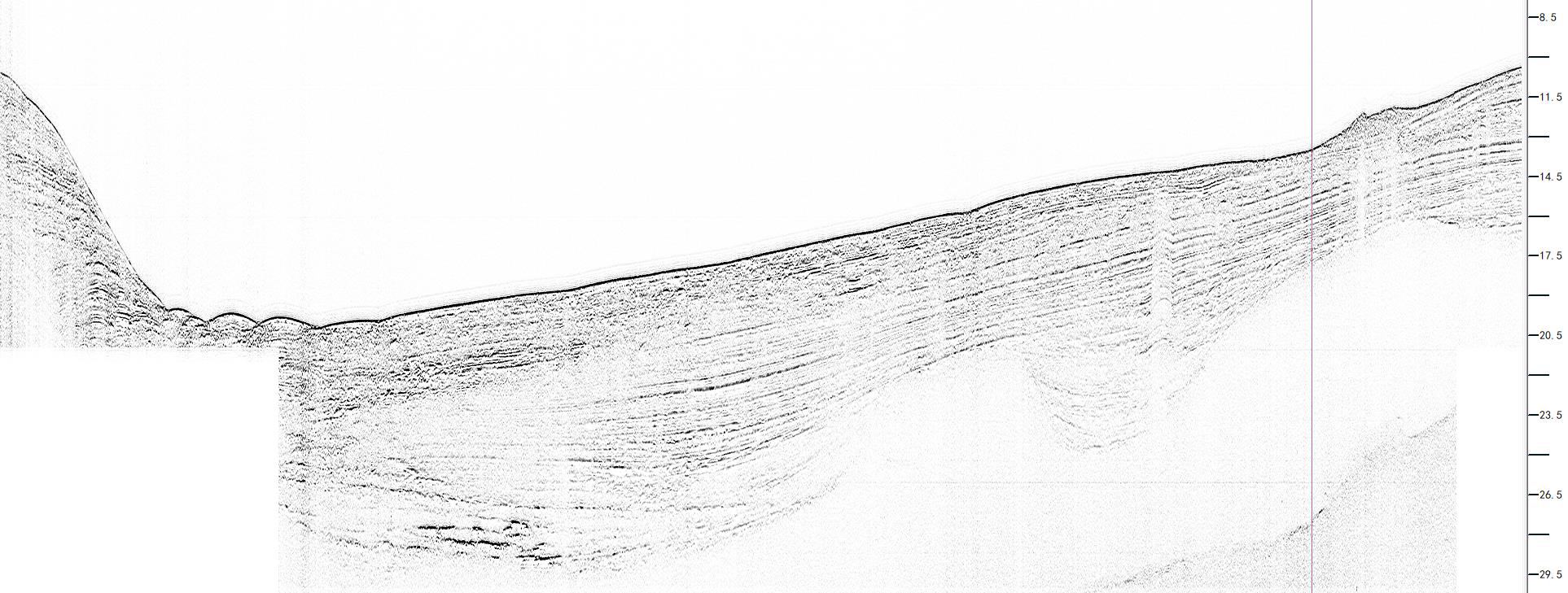
The range was adjusted during acquisition to obtain greater penetration
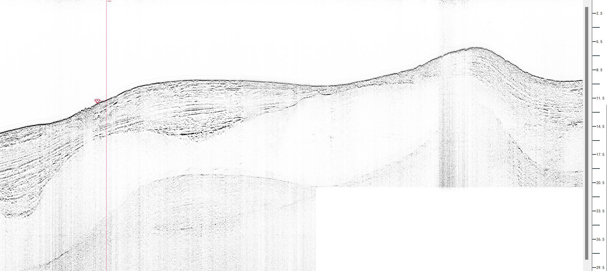
Marked Pipeline
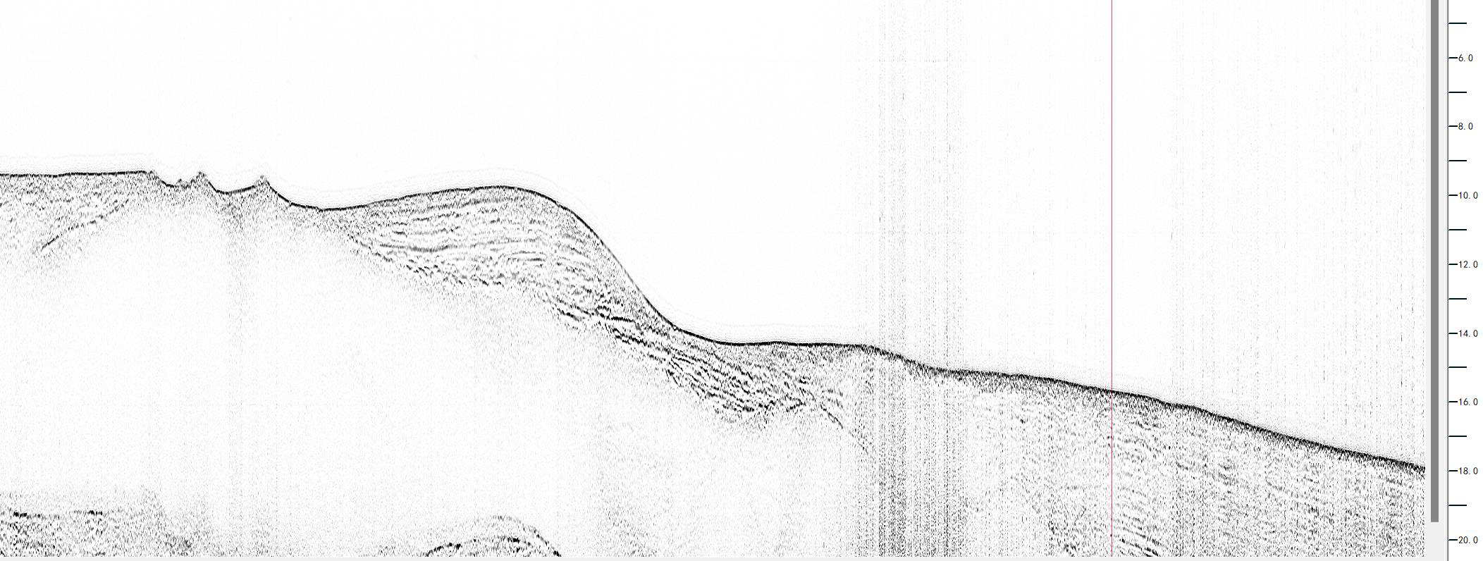
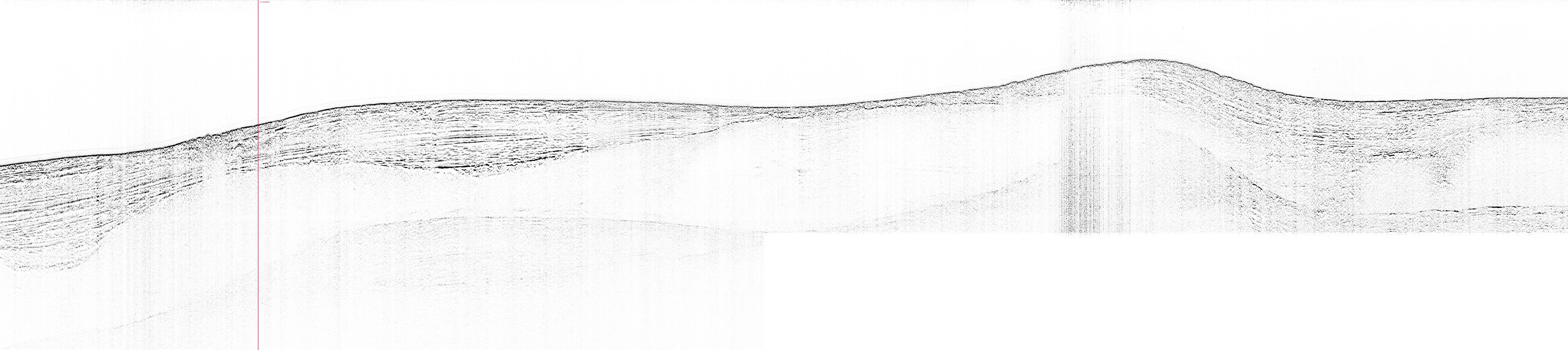
Clear and continuous interface between bedrock surface and sedimentary layers
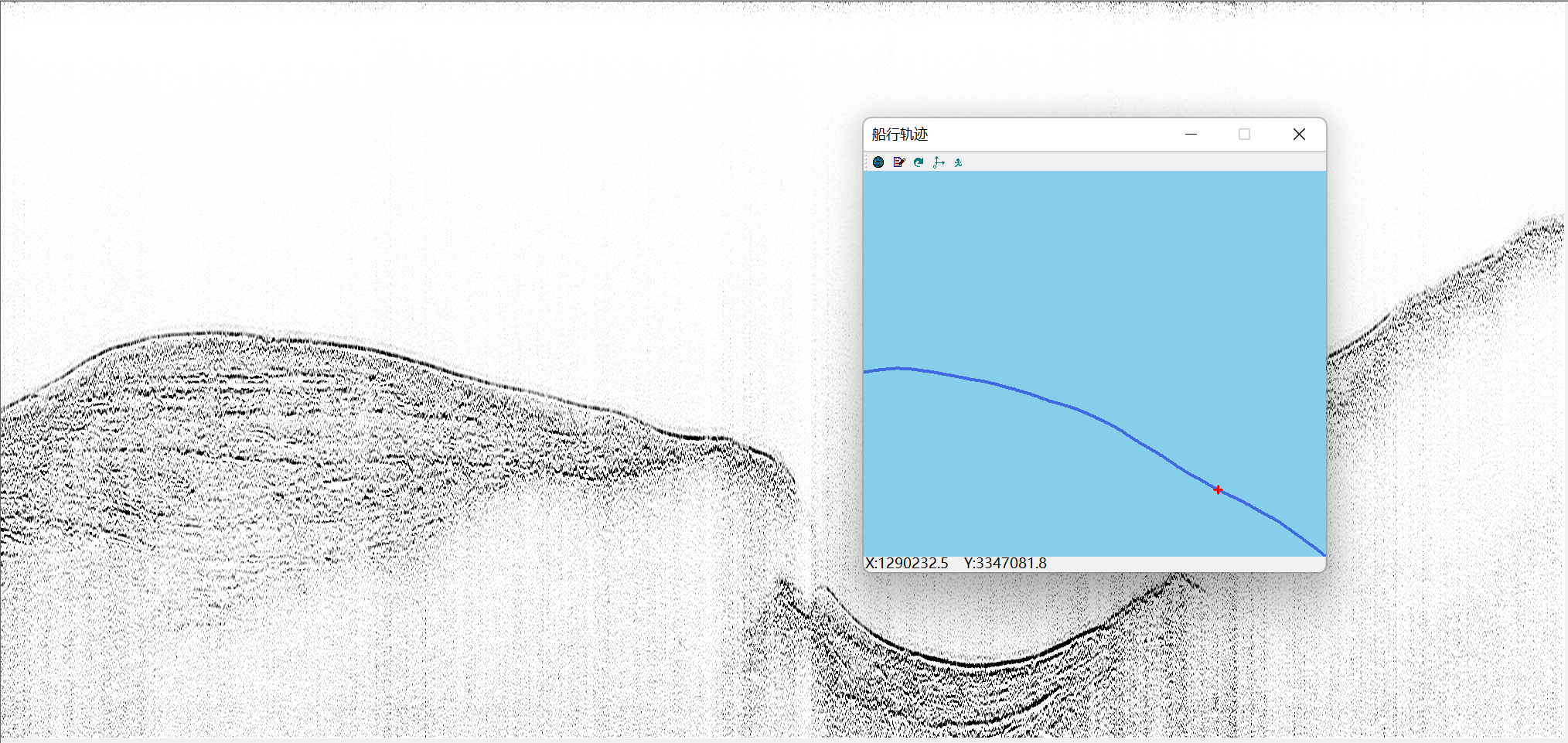
Track map with stratigraphic correspondence
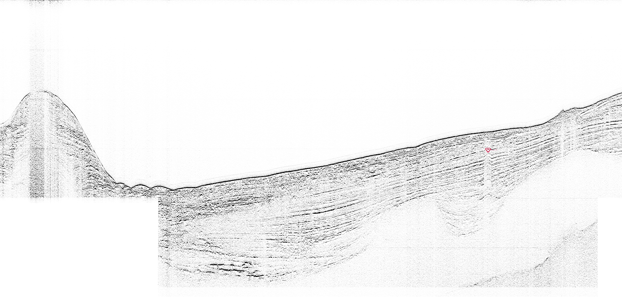
Shallow Buried Pipeline
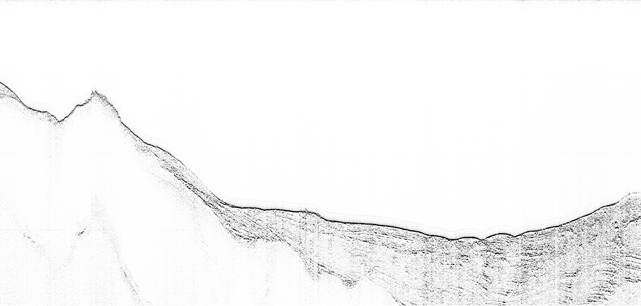
Perfect Bottom Tracking
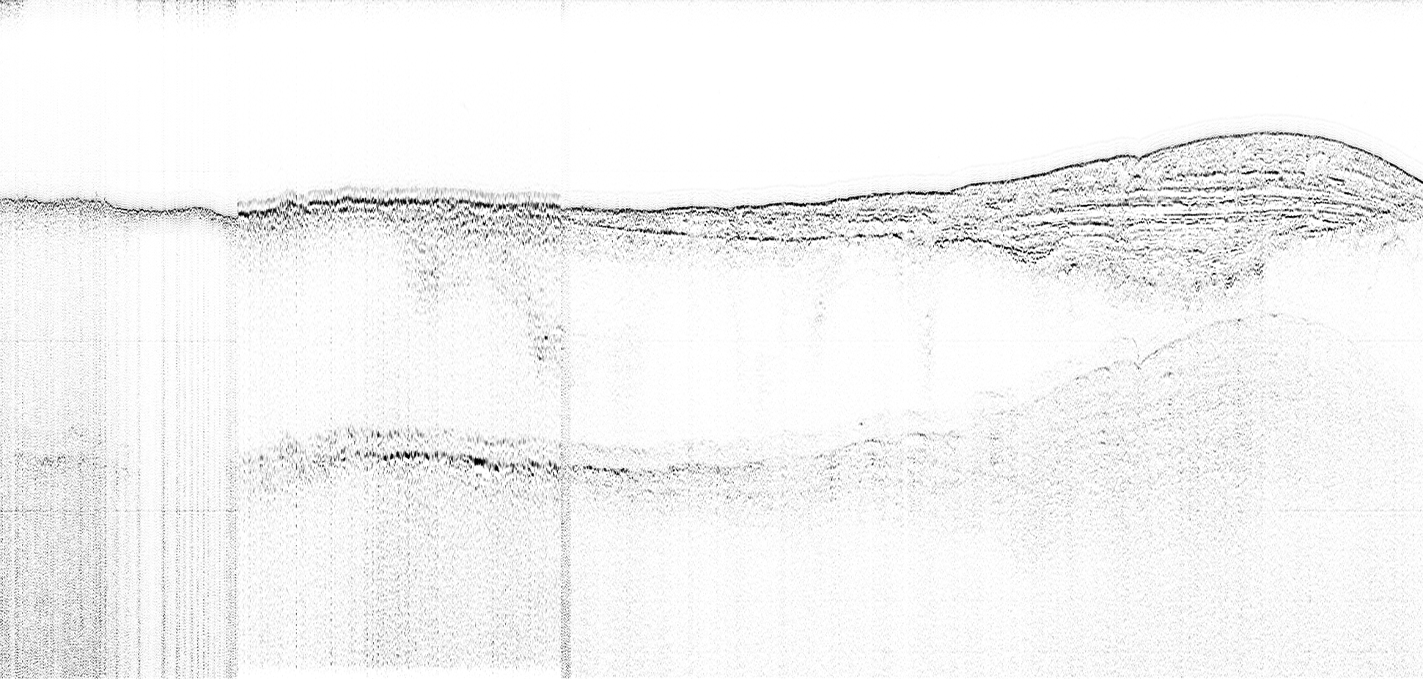
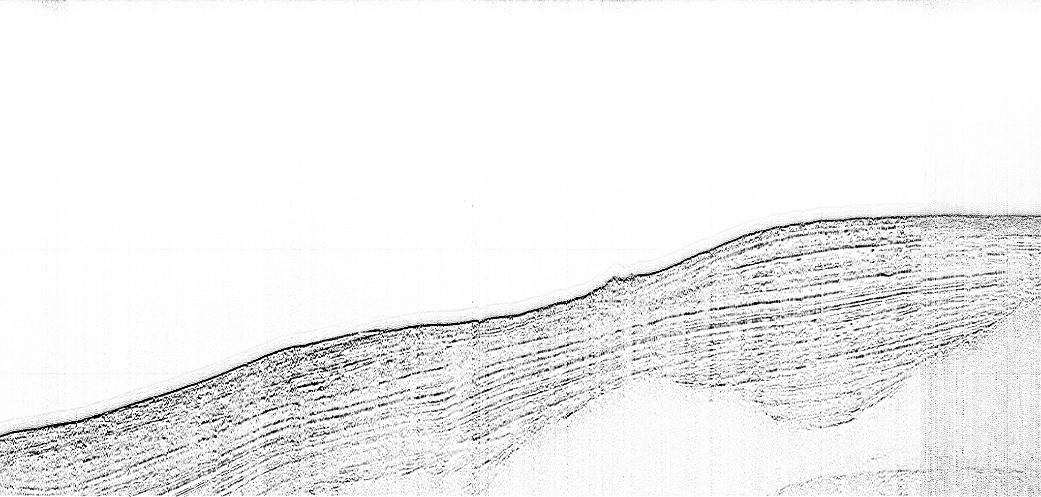
Stratigraphy is clear and detailed

Loss of bottom tracking due to sharp vessel turns