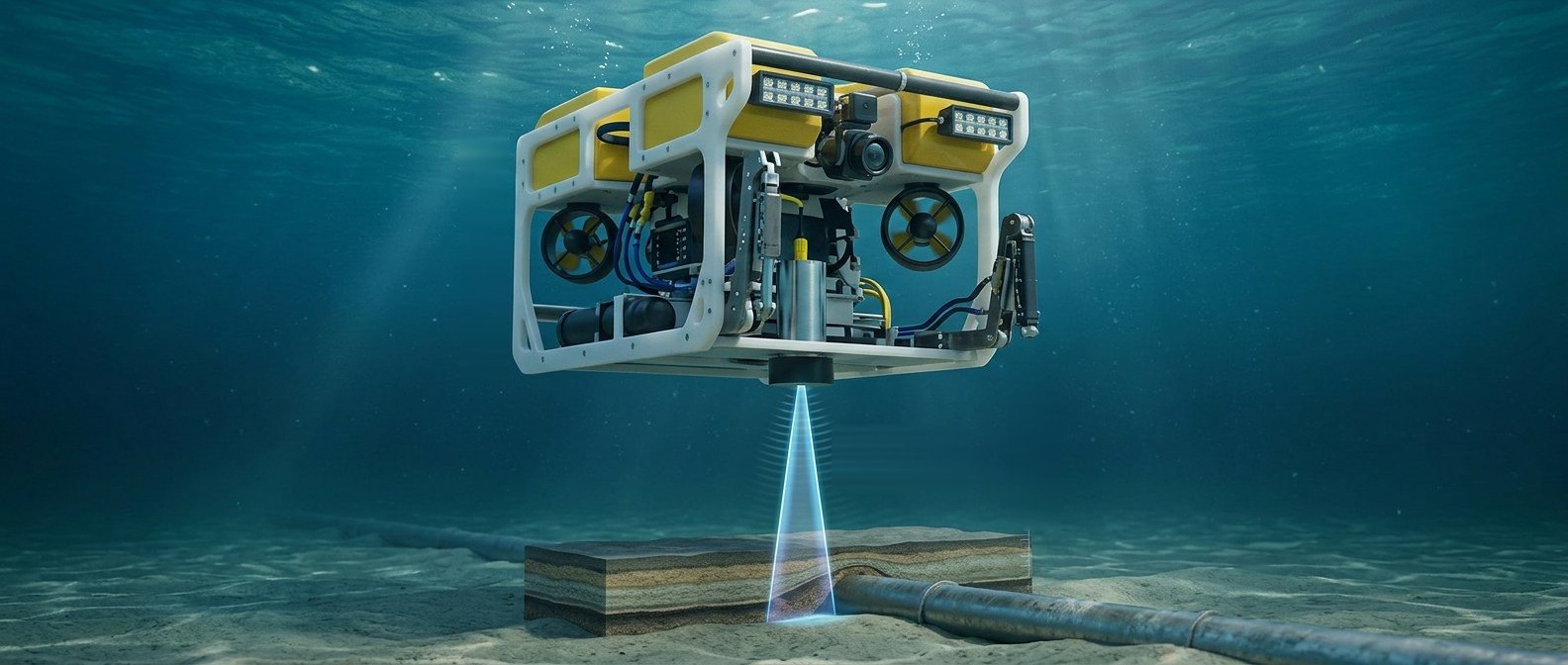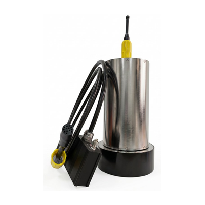
GeoScope 2100 is a compact parametric sub-bottom profiler with transducer and processing electronics in a single housing, offered in 300 m and 2,000 m depth ratings. Built on nonlinear acoustics, it transmits at a 110 kHz primary frequency and generates 5 – 25 kHz secondary frequencies in the water — low-frequency penetration without a low-frequency-sized transducer.
There is no separate electronics bottle to mount or cable. The unit delivers up to 30 m of sediment penetration and ≤0.05 m range resolution at 7.5 kg in water and ≤100 W average power — a size, weight and power (SWaP) profile that fits USVs and small to mid-size AUVs and ROVs where payload space and buoyancy trim are tight. Typical work: buried-target search and fine sub-bottom structure.

GeoScope 2100 integrated on an ROV (illustration)
| Technical Specifications | |
|---|---|
| Primary Frequency | 90 – 120 kHz (110 kHz centre) |
| Secondary Frequency | 5 – 25 kHz |
| Primary Beamwidth | ~4.5° × 4.5° |
| Pulse Length | 0.04 – 0.6 ms |
| Source Level @ Primary Frequency | ≥235 dB/μPa@1m 110 kHz |
| Sediment Penetration | ≤30 m (subject to ambient noise and sediment) |
| Range Resolution | ≤0.05 m |
| Operating Range | ≤200 m (water depth) |
| Physical Specifications | |
| Max. Working Depth | 300 m (USV version) / 2,000 m (optional) |
| Configuration | Transducer and electronics in one housing |
| Power Supply | 220 VAC 50 Hz ±5% via adapter, or 24 VDC input |
| Average Power Consumption | ≤100 W |
| Communication | Ethernet, PC control |
| Data Acquisition | 128 kSps @ 24-bit |
| Dynamic Range | ≥110 dB |
| Weight | 15 kg in air, 7.5 kg in water |
| Dimensions | Ø200 mm max. × 306 mm height |